¶ What Is Risk MAP?
FEMA is responsible for identifying and mapping flood risk through the Risk Mapping, Assessment, and Planning (Risk MAP) program. Risk MAP provides communities with flood information and tools they can use to regulate new development, enhance their mitigation plans, and take action to better protect themselves against flooding.
- The Risk MAP process creates Flood Insurance Rate Maps (FIRMs), sometimes called “flood maps."
- FIRMs show areas of high and moderate flood risk, depicted as different flood zones.
- FIRMs are used to inform building codes, land use regulations, and flood insurance rates.
- FIRMs are resource-intensive to produce and update.
- FIRMs are not available for every community.
- The BLE information developed during this current effort may be used in the future to inform more detailed analysis through Risk MAP, with the goal of updating the official FIRMs.
- The Risk MAP program supports analysis, planning, and communications efforts, all of which aim to increase community resiliency.
To view your community's digital firm or to print a copy of your community's paper FIRM, visit the FEMA Flood Map Service Center (MSC).
¶ Examples of FIRMs
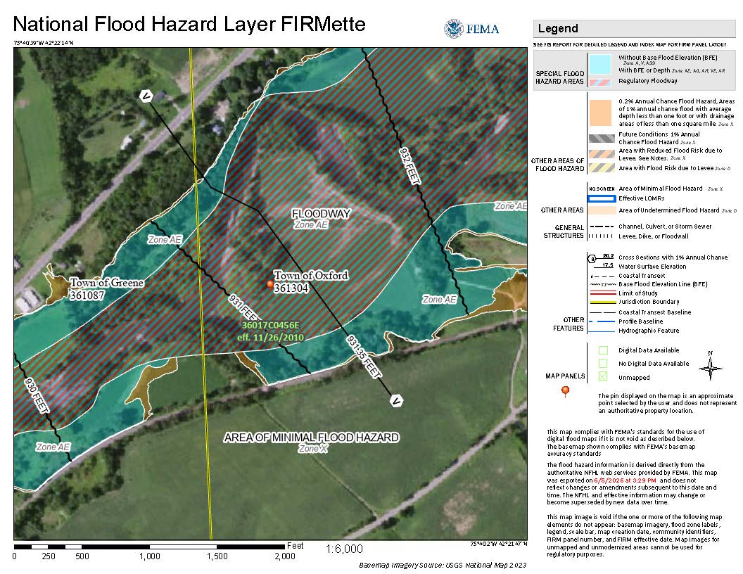
Digital FIRM of the Town of Oxford, NY
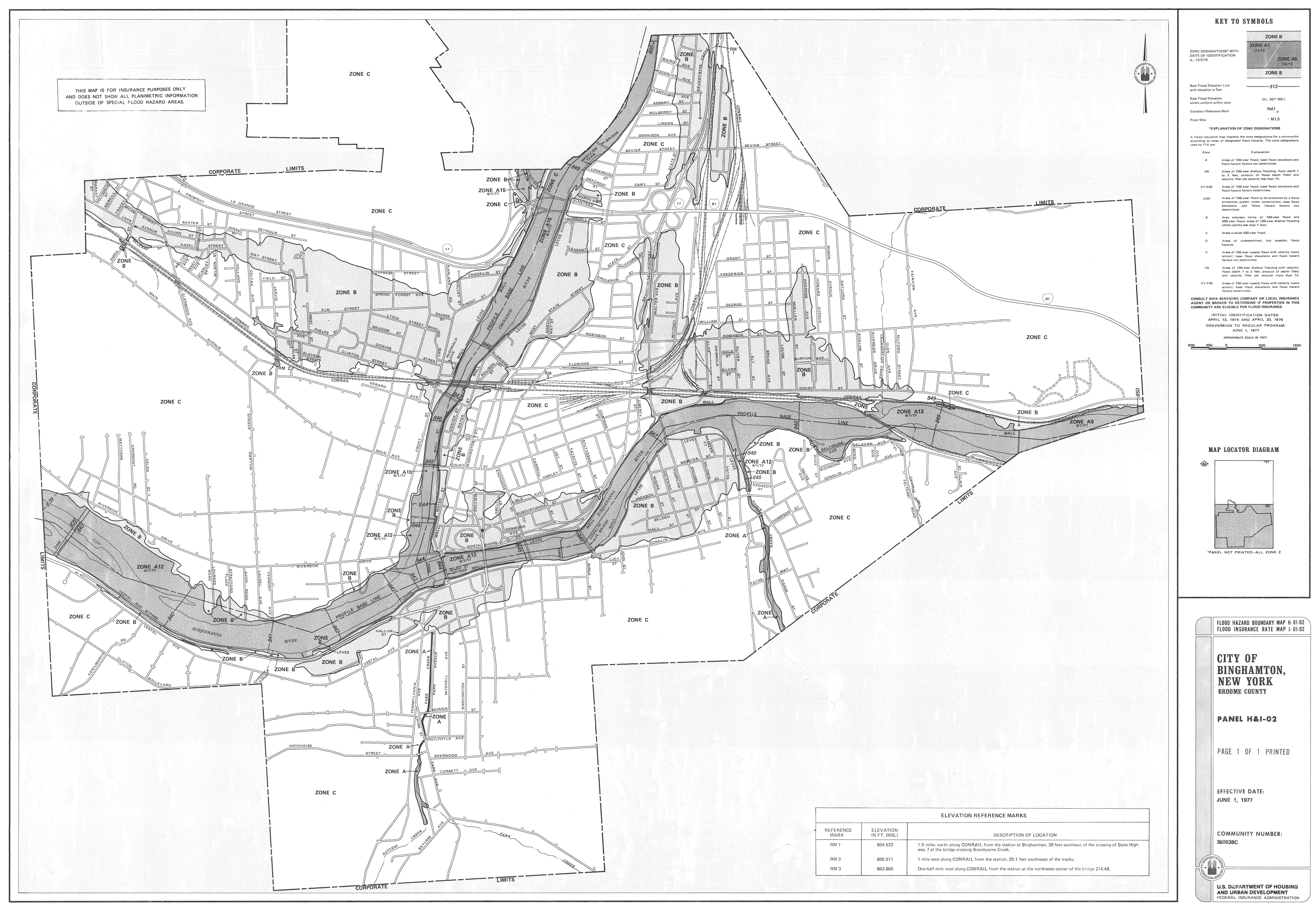
Paper FIRM of the City of Binghamton, NY
- Risk MAP ultimately supports the NFIP, which requires participating communities to adopt and enforce floodplain management regulations and standards in flood-prone areas. In return, the NFIP offers flood insurance to homeowners, renters, and businesses. See What Is the NFIP? to learn more.